What’s under your feet?
Free, sourced history maps of the ground you stand on: lost lakes and buried creeks, old battle lines, the color line and the land before the city. First up: Atlanta and DeKalb County.
Open the Atlanta map For historical societies
Places
Live now
The City of Atlanta and DeKalb County, in four modes: Water, Civil War, Segregation and Early. Tap anywhere to see what’s under it, fill a lost lake back up, or ask the map a question.
- 22 Watermarks
- 87 lake histories
- 407 sources cited
For historical societies
A lot of local history lives with small volunteer groups, on websites that are one lapsed domain away from going dark. History Underfoot is starting a coalition of Atlanta-area historical societies and history groups to share the technical work: rebuilt websites (free); rescue copies of what you have now, in open formats; and pages that search engines and AI assistants can find and credit. Every group keeps its own material. How it works
How the maps are made
- Sources on every claim. Each place, lake and line lists where it came from, and says when a location is approximate or the sources disagree.
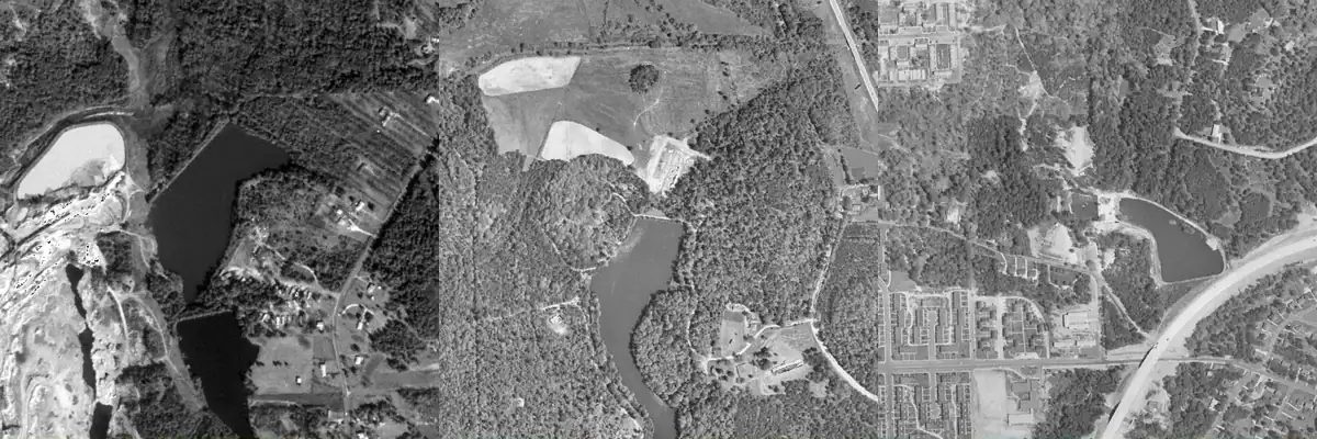
- AI, in the open. AI agents help research, read old aerial photos and check claims against their sources. People decide what is published, and each map explains how it was made: see how AI was used for Atlanta.
- Some places stay private. No locations of archaeological sites or graves, and no advice on digging or collecting.
More places
Atlanta is the first. If your town has a historical society or library that would like a map like this, write to hello@historyunderfoot.org.